Liquefaction Risk Maps: What You Need to Know
Staring at a liquefaction risk map and feeling utterly lost? You're not alone! These maps are crucial for understanding seismic risk, but they can look like a jumble of colors and lines if you don't know how to decipher them. This guide will break down everything you need to know, transforming you from a map-reading novice into a confident interpreter of potential earthquake hazards.
Understanding the Basics of Liquefaction Risk Maps
Liquefaction risk maps are visual tools used by geotechnical engineering professionals, urban planners, and homeowners to assess the potential for soil liquefaction during an earthquake. They are a critical component of seismic risk assessment and mitigation. These maps typically show areas with varying degrees of liquefaction susceptibility, ranging from very low to very high. The colors and patterns on the map represent different levels of risk, often based on factors like soil type, groundwater depth, and potential ground motion intensity.
It's important to understand that these are *risk* maps, not maps of guaranteed liquefaction. They indicate the probability of liquefaction occurring in a specific area given a certain level of ground motion. Therefore, they are a crucial tool for making informed decisions about construction, land use, and emergency preparedness.
Key Elements of a Liquefaction Risk Map
Deciphering a liquefaction risk map involves understanding several key elements. These include the map legend, the color-coding system, and the underlying data used to create the map. Let’s explore each element in more detail:
- Map Legend: The legend is your key to understanding the map. It explains the meaning of each color, pattern, or symbol used on the map. Pay close attention to the legend as it defines the risk levels represented.
- Color-Coding: Typically, colors are used to represent different levels of liquefaction susceptibility. For example, green might indicate a low risk, yellow a moderate risk, and red a high risk. Understand the scale and what each color signifies.
- Underlying Data: Liquefaction maps are created based on site investigation data, including soil borings, groundwater measurements, and historical earthquake data. Understanding the quality and limitations of this data is essential for interpreting the map accurately.
- Scale: Note the scale of the map. A large-scale map will show greater detail, while a small-scale map will cover a larger area but with less precision.
- Geographic Reference: Ensure you understand the geographic reference of the map. Locate key landmarks, streets, or other features to accurately determine the location of specific properties or areas of interest.
How to Interpret a Liquefaction Risk Map: A Step-by-Step Guide
Interpreting a liquefaction risk map requires a systematic approach. Here's a step-by-step guide:
- Identify the Area of Interest: Locate the specific property or area you're interested in on the map. Use street names, landmarks, or geographic coordinates to pinpoint the exact location.
- Understand the Map Legend: Review the map legend carefully. Pay attention to the color-coding system and the corresponding levels of liquefaction susceptibility. Understand the meaning of each color or symbol used on the map.
- Determine the Risk Level: Based on the color or symbol at your area of interest, determine the corresponding risk level. Is it low, moderate, or high?
- Consider the Contextual Factors: Evaluate other factors that might influence the liquefaction susceptibility. These include the depth of the groundwater table, the type of soil present, and the potential ground motion intensity during an earthquake.
- Seek Professional Advice: If you have any questions or concerns, consult with a geotechnical engineering professional. They can provide expert guidance and help you interpret the map accurately.
Detailed Breakdown of Risk Assessment Using Liquefaction Maps
Assessing risk using liquefaction risk maps is a multi-layered process. It involves not just reading the map, but also understanding the data that informs it and the limitations of the map itself. This section provides a deeper dive into how professionals and individuals can use these maps to evaluate potential hazards.
Understanding Soil Types and Their Liquefaction Potential
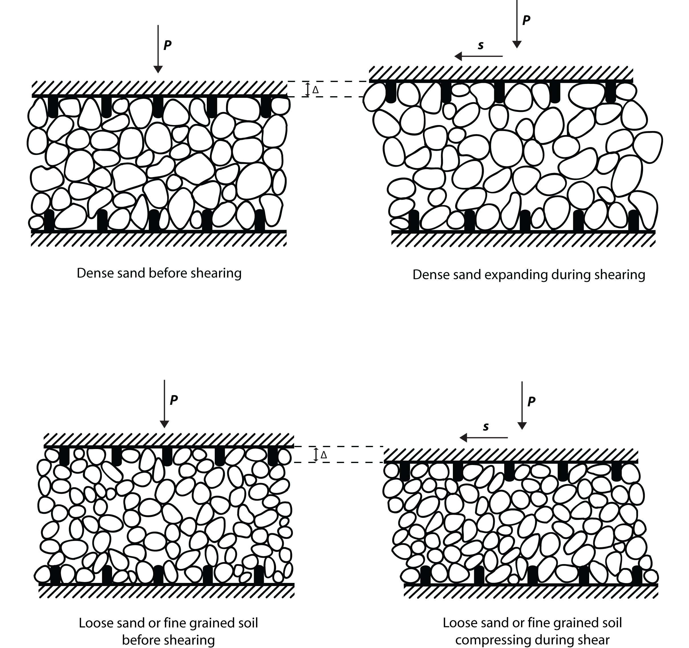
Different soil types have different susceptibilities to liquefaction. Loose, saturated, granular soils (like sands and silts) are the most vulnerable. Clay-rich soils are generally less susceptible. The map might not explicitly show soil types, but often the underlying data used to create the map includes detailed soil profiles. Knowing the soil composition in an area greatly improves the accuracy of your risk assessment.
Analyzing Groundwater Table Depth
A high water table significantly increases the risk of liquefaction because saturated soils are required for the phenomenon to occur. Liquefaction maps may incorporate groundwater table depth data. Even if the map doesn’t explicitly show the water table, knowing its depth in relation to your site is critical. This information can often be obtained from local geological surveys or site investigation reports.
Interpreting Ground Motion Intensity Predictions
Ground motion, measured as peak ground acceleration (PGA) or spectral acceleration (Sa), is a key driver of liquefaction. Liquefaction risk maps often factor in predicted ground motion levels for different earthquake scenarios. Understanding the return period (e.g., 475-year, 2475-year) associated with the ground motion predictions is crucial. A higher return period represents a rarer, but more intense, earthquake event.
Using Liquefaction Maps in Practice
Liquefaction risk maps are not just theoretical tools; they have practical applications in various fields. They help guide decisions related to construction, land use planning, and emergency preparedness. Here's how they are used in practice:
- Construction: Before constructing any structure, it's essential to assess the liquefaction susceptibility of the site. If the risk is high, mitigation measures such as ground improvement techniques (e.g., soil densification, deep soil mixing) can be implemented to reduce the risk of liquefaction.
- Land Use Planning: Local governments use hazard maps, including liquefaction risk maps, to make informed decisions about land use zoning and development regulations. Areas with high liquefaction susceptibility may be restricted from certain types of development.
- Emergency Preparedness: Emergency management agencies use these maps to identify areas at high risk of liquefaction during an earthquake. This information helps them plan evacuation routes, allocate resources, and develop emergency response strategies.
- Risk Assessment and Insurance: Insurance companies use liquefaction risk maps to assess the seismic risk associated with specific properties and determine appropriate insurance premiums.
Understanding Limitations and Uncertainties
While liquefaction risk maps are valuable tools, it's important to acknowledge their limitations and uncertainties. These maps are based on available data and models, which are subject to inherent uncertainties. Factors such as the accuracy of soil data, the complexity of soil liquefaction mechanisms, and the unpredictable nature of earthquakes can all contribute to uncertainties in the risk assessment.
Furthermore, liquefaction risk maps typically provide a general overview of liquefaction susceptibility at a regional scale. They may not capture the specific conditions at a particular site. Therefore, it's crucial to supplement these maps with site-specific investigations to obtain more detailed information about the soil stability and liquefaction susceptibility at the location of interest.

Mitigation Strategies Based on Liquefaction Risk Maps
Once you understand the liquefaction risk in a particular area, the next step is to consider appropriate mitigation strategies. These strategies can range from avoiding construction in high-risk zones to implementing ground improvement techniques to reduce the liquefaction susceptibility.
Here’s a detailed table illustrating common mitigation strategies based on different levels of risk:
| Risk Level | Description | Recommended Mitigation Strategies |
|---|---|---|
| Very Low | Minimal risk of soil liquefaction. | No specific mitigation measures required. Standard building codes apply. |
| Low | Low probability of soil liquefaction. Minor ground improvements may be considered. | Consider shallow ground improvement techniques such as compaction grouting or vibro-compaction. |
| Moderate | Moderate probability of soil liquefaction during a significant earthquake. | Implement ground improvement techniques such as deep soil mixing, stone columns, or soil densification. Consider structural design modifications to accommodate potential ground deformation. |
| High | High probability of soil liquefaction. Significant mitigation measures are required. | Implement comprehensive ground improvement techniques, such as jet grouting or deep dynamic compaction. Consider relocation of critical infrastructure or structures away from the high-risk zone. Extensive site investigation and geotechnical engineering analysis are essential. |
| Very High | Extremely high probability of soil liquefaction. Construction is generally not recommended without extensive and costly mitigation measures. | Avoid construction if possible. If construction is unavoidable, implement the most advanced ground improvement techniques and consider structural design modifications to accommodate large ground deformations. Consult with multiple geotechnical engineering experts. |

Pro Tips for Using Liquefaction Risk Maps
- Always consult with a qualified geotechnical engineering professional.
- Verify the source and date of the hazard maps you are using. Newer maps are generally more accurate.
- Understand the limitations of the map and supplement it with site-specific investigations.
- Consider the potential impact of climate change on groundwater levels, which can affect liquefaction susceptibility.
FAQ: Frequently Asked Questions About Liquefaction Risk Maps
What is the difference between liquefaction susceptibility and liquefaction potential?
Liquefaction susceptibility refers to the inherent characteristics of a soil that make it prone to liquefaction. Liquefaction potential refers to the probability of liquefaction occurring at a specific site, considering both the soil's susceptibility and the potential ground motion intensity.
How often are liquefaction risk maps updated?
The frequency of updates varies depending on the region and the availability of new data. However, it's generally recommended to use the most recent map available, as new data and improved modeling techniques can significantly affect the accuracy of the map.
Can I rely solely on a liquefaction risk map to make decisions about my property?
No. While liquefaction risk maps provide valuable information, they should be supplemented with site-specific investigations and expert advice from a geotechnical engineering professional.
Where can I find liquefaction risk maps for my area?
Liquefaction risk maps are often available from local government agencies, geological surveys, or engineering consulting firms. Check with your city or county planning department or your state geological survey.
