The Ultimate Guide to Using Drones for Post-Disaster Assessment: Strategies, Technologies & Best Practices

Imagine the scene: a devastating earthquake has ripped through a densely populated area. Roads are impassable, communication lines are down, and traditional reconnaissance methods are severely hampered. Every minute counts in locating survivors and assessing the extent of the damage. In these critical moments, eyes in the sky, powered by advanced drone technology, can make all the difference between life and death, providing real-time information to first responders and aid organizations.
The Critical Role of Drones in Post-Disaster Scenarios
The immediate aftermath of a disaster is characterized by chaos and uncertainty. Rapid and accurate information is paramount for effective response. This is where drone disaster response steps in, offering a transformative solution for gathering vital data. Unlike manned aircraft or ground-based assessments, drones can quickly and safely access hazardous areas, providing a comprehensive overview of the situation. Their ability to navigate debris fields, flooded zones, and unstable structures makes them invaluable assets in the critical early stages of disaster relief. Moreover, the data collected by drones informs resource allocation, helps prioritize rescue efforts, and facilitates informed decision-making by emergency management teams.
Applications of Drones in Post-Disaster Assessment
The versatility of drones allows them to be deployed in a variety of post-disaster assessment tasks. These applications range from initial damage assessments to detailed mapping and search & rescue operations.
One primary use is disaster damage assessment drones. Equipped with high-resolution cameras, they can capture detailed imagery of affected areas, allowing experts to quickly gauge the extent of the damage to buildings, infrastructure, and the environment. This information is crucial for determining the resources needed for recovery and reconstruction.
Another critical application is drone search and rescue. Drones equipped with thermal imaging cameras can detect heat signatures, helping to locate survivors trapped under rubble or in hard-to-reach areas. The speed and agility of drones enable search and rescue teams to cover vast areas much more efficiently than traditional methods.
Post-disaster drone mapping is also indispensable. By creating detailed maps of affected areas, drones provide valuable insights into the accessibility of roads, the location of hazards, and the overall landscape. These maps are essential for coordinating relief efforts and planning reconstruction activities. Statistics show that the use of drones in mapping cut the time it takes to create detailed maps by 60% compared to traditional methods.
Specific Applications:
Search and Rescue:
Drones are vital for locating missing persons after a disaster. Equipped with advanced sensors, they can quickly scan large areas, detecting signs of life even in challenging environments.
Infrastructure Inspection:
Bridges, power lines, and other critical infrastructure can be quickly assessed for damage using drones, helping to prioritize repairs and prevent further incidents.
Environmental Monitoring:
Drones can be used to monitor pollution levels, assess the impact on wildlife, and identify potential environmental hazards following a disaster.
The Technology Behind Drone-Based Disaster Assessment
The effectiveness of drones in post-disaster assessment is directly tied to the technology they employ. Several key technologies contribute to their capabilities.
Drone thermal imaging is a crucial technology for locating survivors, especially at night or in low-visibility conditions. Thermal cameras detect heat signatures, allowing rescuers to identify individuals trapped under debris or in areas that are difficult to access visually.
High-resolution cameras are essential for capturing detailed imagery used in damage assessment and mapping. These cameras can provide orthomosaics and 3D models of affected areas, enabling experts to analyze the damage in detail.
GPS and navigation systems are critical for accurate positioning and autonomous flight. These systems allow drones to navigate complex environments and collect data with precision.
Furthermore, the use of artificial intelligence (AI) is increasingly being integrated into drone imagery analysis. AI algorithms can automatically identify damaged buildings, roads, and other features, speeding up the assessment process and reducing the workload for human analysts.
Benefits of Using Drones in Disaster Relief
The benefits of deploying drones in disaster relief are numerous and far-reaching. Here's a summary of key advantages:
- Speed and Efficiency: Drones can quickly assess large areas, providing real-time information to first responders.
- Safety: Drones can access hazardous areas without putting human lives at risk.
- Cost-Effectiveness: Compared to manned aircraft, drones offer a more affordable solution for aerial reconnaissance.
- Data Accuracy: Drones equipped with advanced sensors can collect highly accurate data, enabling informed decision-making.
- Improved Coordination: The data collected by drones can be easily shared with multiple stakeholders, facilitating better coordination of relief efforts.
According to a 2024 study by the Disaster Relief Robotics Association, the use of drones in post-disaster assessments reduced the average response time by 40%.
Challenges and Considerations
While drones offer significant advantages, their use in post-disaster assessment also presents several challenges and considerations:
Regulatory Issues: Drone operations are subject to regulations that vary by location. Obtaining necessary permits and approvals can be time-consuming, potentially delaying response efforts.
Technical Limitations: Drones have limited flight times and payload capacities. Weather conditions, such as strong winds or heavy rain, can also affect their performance.
Data Management: The large volumes of data collected by drones require efficient storage, processing, and analysis capabilities.
Privacy Concerns: The use of drones raises privacy concerns, particularly in densely populated areas. It is important to adhere to ethical guidelines and regulations regarding data collection and usage.
Case Studies: Real-World Examples of Drone Deployment
Numerous real-world examples demonstrate the effectiveness of drones in post-disaster assessment. Here are a few notable cases:
Hurricane Maria (Puerto Rico, 2017): Drones were used extensively to assess the damage to infrastructure, locate survivors, and deliver essential supplies to isolated communities. The drone aerial surveys provided a comprehensive overview of the devastation, enabling more effective allocation of resources.
Nepal Earthquake (2015): Drones were deployed to map the affected areas, identify damaged buildings, and search for survivors in remote mountain regions. The use of uav disaster management proved invaluable in coordinating relief efforts in a challenging environment.
California Wildfires (Various Years): Drones have been instrumental in assessing the extent of wildfire damage, identifying hotspots, and monitoring the spread of fires. Thermal imaging cameras have helped firefighters locate and extinguish hidden embers, preventing further outbreaks.
These case studies highlight the diverse applications of drones in disaster relief and their potential to save lives and improve the efficiency of response efforts. Drone emergency response teams are becoming increasingly vital.
Integrating Drones into Disaster Management Plans
To maximize the effectiveness of drones in post-disaster assessment, it is crucial to integrate them into comprehensive disaster management plans. This involves several key steps:
- Developing Standard Operating Procedures (SOPs): SOPs should outline the procedures for drone deployment, data collection, and data analysis.
- Training Personnel: Emergency responders and other stakeholders should receive training in drone operation, data interpretation, and safety protocols.
- Establishing Partnerships: Collaborations with drone service providers, research institutions, and government agencies can enhance access to resources and expertise.
- Ensuring Data Security: Measures should be implemented to protect the security and privacy of data collected by drones.
- Regularly Updating Plans: Disaster management plans should be regularly reviewed and updated to reflect advancements in drone technology and lessons learned from past events.
Future Trends in Drone Technology for Disaster Response
The field of drone technology is constantly evolving, with new advancements emerging regularly. Several key trends are shaping the future of disaster relief drone technology:
Advancements in Drone Technology
AI-Powered Analysis:
AI algorithms will continue to improve the speed and accuracy of drone imagery analysis, enabling faster damage assessments and more efficient resource allocation.
Autonomous Flight:
Drones will become increasingly autonomous, capable of navigating complex environments and completing tasks with minimal human intervention.
Improved Battery Life:
Advances in battery technology will extend drone flight times, allowing them to cover larger areas and perform more demanding tasks.
Increased Automation: Automation will play an increasingly important role in drone operations, from flight planning to data analysis. AI algorithms will be used to automatically identify damaged buildings, locate survivors, and generate reports.
Enhanced Sensor Capabilities: Drones will be equipped with a wider range of sensors, including hyperspectral cameras, LiDAR, and gas detectors, providing more comprehensive data about disaster-affected areas.
Improved Communication Systems: Communication systems will be enhanced to ensure reliable data transmission and real-time communication between drones and ground-based teams.
These advancements will further enhance the capabilities of drones in post-disaster assessment, making them even more valuable assets in disaster relief efforts.
Table 1: Drone Capabilities and Applications
| Capability | Application | Benefits |
|---|---|---|
| High-Resolution Imaging | Damage Assessment, Mapping | Detailed overview of affected areas, accurate mapping for resource allocation |
| Thermal Imaging | Search and Rescue | Locating survivors in low-visibility conditions |
| 3D Modeling | Infrastructure Inspection | Precise assessment of structural damage |
| Data Transmission | Real-Time Monitoring | Immediate situational awareness for decision-makers |
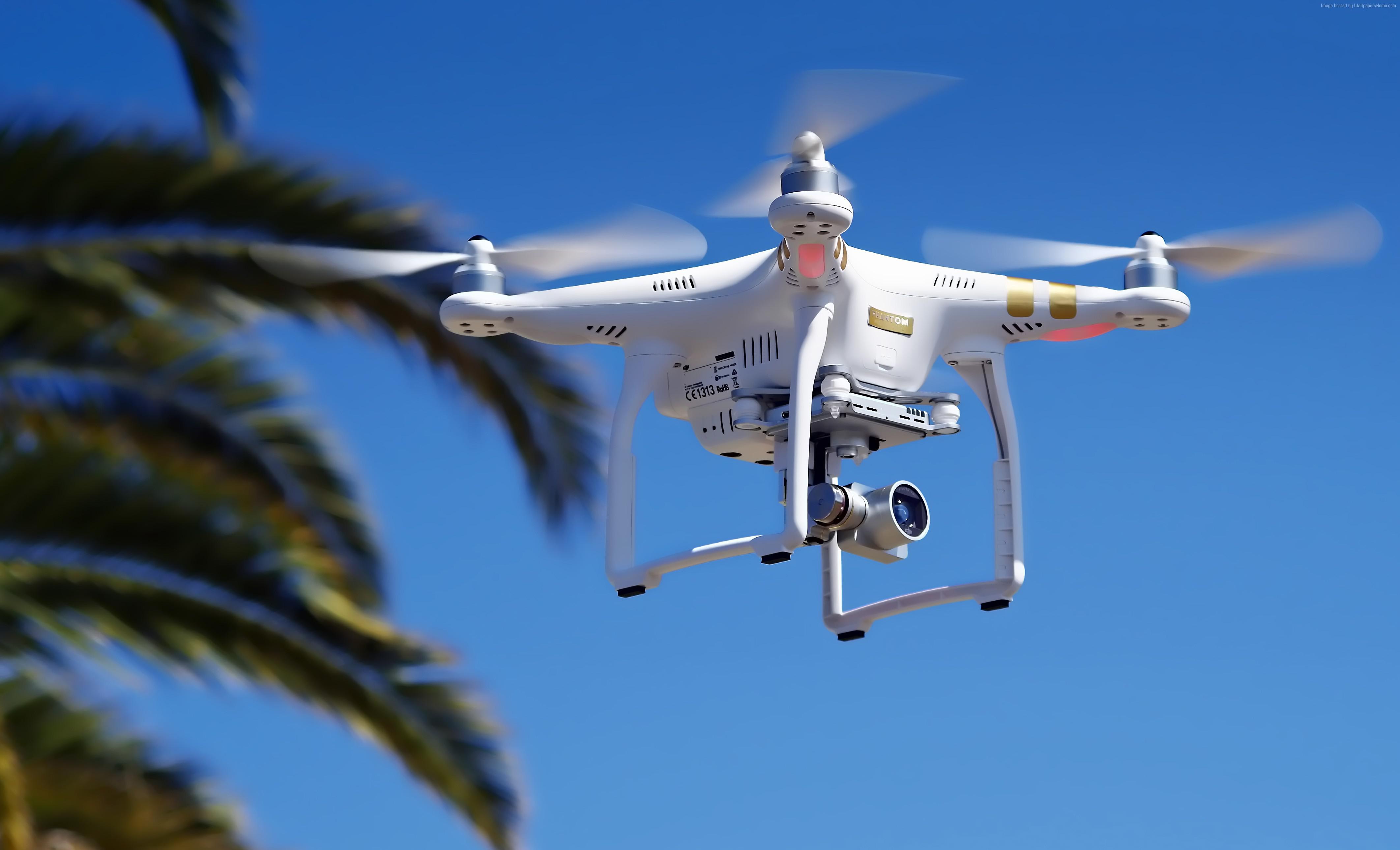
Table 2: Drone Types and Specifications
| Drone Type | Typical Payload Capacity | Typical Flight Time | Ideal Use Case |
|---|---|---|---|
| Multi-Rotor | 1-5 kg | 20-30 minutes | Rapid deployment, close-range inspection |
| Fixed-Wing | 2-10 kg | 1-2 hours | Large-area mapping, long-range surveillance |
| Hybrid VTOL | 3-7 kg | 45-60 minutes | Versatile operations, vertical takeoff and landing |
Ethical Considerations and Best Practices
The use of drones in post-disaster assessment raises important ethical considerations that must be addressed to ensure responsible and ethical deployment. Some key ethical considerations include:
- Privacy: Drones equipped with cameras can capture sensitive information about individuals and communities. It is essential to implement measures to protect privacy, such as anonymizing data and obtaining informed consent where possible.
- Data Security: The data collected by drones must be protected from unauthorized access and misuse. Encryption and other security measures should be implemented to ensure data confidentiality.
- Transparency: The use of drones should be transparent and accountable. Communities should be informed about how drones are being used and how the data is being collected and used.
- Equity: Drones should be deployed in a way that is equitable and does not discriminate against vulnerable populations. All communities should have equal access to the benefits of drone technology.
Adhering to best practices, such as establishing clear guidelines for drone operations, training personnel in ethical considerations, and engaging with communities, can help ensure that drones are used responsibly and ethically in post-disaster assessment.
FAQ
Q: What kind of training is required to operate drones in post-disaster situations?
A: Operating drones in post-disaster situations typically requires a Remote Pilot Certificate from the FAA (or equivalent in other countries). Specialized training in disaster response operations, data collection, and safety protocols is also highly recommended.
Q: How is the data collected by drones processed and analyzed?
A: Data collected by drones is typically processed using specialized software for orthorectification, 3D modeling, and image analysis. AI algorithms are increasingly being used to automate the analysis process and extract valuable insights.
Q: What are the legal restrictions on using drones in disaster areas?
A: Legal restrictions on using drones in disaster areas vary by location. It is essential to comply with all applicable regulations, including obtaining necessary permits and approvals, adhering to airspace restrictions, and respecting privacy laws.
Q: How can I get involved in using drones for disaster relief?
A: You can get involved by volunteering with disaster relief organizations, participating in drone training programs, or supporting research and development efforts in this field. Many organizations are actively seeking skilled drone pilots and data analysts to assist with their disaster response efforts.
"Drones are not just tools; they are force multipliers in disaster response, enabling us to see, assess, and act faster than ever before." - Dr. Anya Sharma, Lead Researcher, Disaster Robotics Institute
In conclusion, drones represent a paradigm shift in post-disaster assessment, offering unprecedented capabilities for rapid damage assessment, search and rescue, and resource allocation. By understanding their applications, technologies, and ethical considerations, we can harness their full potential to save lives and build more resilient communities. Share your experiences and questions about using drones in disaster response in the comments below!
