Disaster Management: Remote Sensing, GIS, and Emergency Response

Imagine being able to predict, monitor, and respond to a natural disaster with unprecedented speed and accuracy. Is it science fiction, or is there a technology already at our fingertips capable of revolutionizing disaster management? The answer lies in the power of remote sensing.
The Power of Remote Sensing in Disaster Management
Remote sensing, in the context of disaster management, involves acquiring information about the Earth's surface without physical contact. This is achieved through sensors mounted on platforms like satellites, aircraft, and drones. The data collected is then analyzed to provide critical insights that can be used to prevent, prepare for, respond to, and recover from various types of disasters. The beauty of remote sensing lies in its ability to cover large areas quickly and repeatedly, often in regions that are inaccessible or dangerous to humans, offering a synoptic view crucial for effective emergency management.
One of the most significant advantages of remote sensing is its cost-effectiveness over traditional ground-based methods, especially when monitoring large areas. Statistics show that using satellite imagery for flood mapping can reduce response times by up to 60% compared to relying solely on ground reports. This efficiency can translate into saved lives and reduced economic losses. According to a 2024 study by the UN Office for Outer Space Affairs (UNOOSA), incorporating geospatial technology into disaster response strategies leads to a significant improvement in resource allocation and coordination among aid agencies.
Key Advantages of Remote Sensing
Remote sensing offers several key advantages in disaster management. These include:
- Wide Area Coverage: Satellites can monitor vast areas, including remote and inaccessible regions, providing a comprehensive overview of the situation.
- Temporal Resolution: Satellites revisit areas regularly, enabling frequent monitoring of changes and early detection of potential hazards.
- Multi-spectral Capabilities: Sensors can capture data in different parts of the electromagnetic spectrum, providing information about various surface properties, such as vegetation health, soil moisture, and surface temperature.
- Cost-Effectiveness: In many cases, remote sensing is more cost-effective than traditional ground-based methods, particularly for large-scale monitoring.
Types of Disasters and Their Remote Sensing Applications
Remote sensing techniques are applicable to a wide range of natural and human-induced disasters. The specific techniques used vary depending on the type of disaster and the information required.
For example, in the case of floods, radar satellite imagery is particularly useful because it can penetrate cloud cover and provide information about water inundation extent. Optical imagery can then be used to assess damage to infrastructure and agriculture once the floodwaters recede. In the context of wildfires, thermal infrared sensors can detect hotspots and track the spread of fires, while optical imagery can be used to map burned areas and assess the impact on ecosystems.
The use of remote sensing extends beyond immediate disaster response. It plays a vital role in risk assessment and hazard mapping, helping to identify areas that are vulnerable to specific types of disasters and to develop mitigation strategies. Environmental monitoring through remote sensing also provides insights into long-term trends that can exacerbate disaster risks, such as deforestation, land degradation, and climate change.
Specific Disaster Applications
Here are some specific examples of how remote sensing is used for different types of disasters:
- Floods: Mapping inundation extent, monitoring river levels, assessing damage to infrastructure.
- Wildfires: Detecting hotspots, tracking fire spread, mapping burned areas, assessing vegetation damage.
- Earthquakes: Identifying surface deformation, assessing structural damage, mapping landslides triggered by earthquakes.
- Hurricanes/Cyclones: Tracking storm paths, monitoring wind speeds, assessing coastal inundation.
- Volcanic Eruptions: Monitoring volcanic activity, detecting ash plumes, mapping lava flows.
- Landslides: Identifying unstable slopes, mapping landslide susceptibility, monitoring ground deformation.
Remote Sensing Data and Technologies
A variety of remote sensing data sources and technologies are used in disaster management. These include:
- Optical Sensors: These sensors, such as Landsat and Sentinel-2, capture data in the visible and infrared portions of the electromagnetic spectrum, providing information about surface reflectance and vegetation health.
- Radar Sensors: Radar sensors, such as Sentinel-1, use microwaves to image the Earth's surface, providing information about surface roughness, moisture content, and topography. They are particularly useful for monitoring floods and other events where cloud cover is a problem.
- Thermal Infrared Sensors: These sensors detect heat emitted from the Earth's surface, allowing for the detection of hotspots and the monitoring of surface temperature.
- LiDAR (Light Detection and Ranging): LiDAR uses laser pulses to create detailed 3D models of the Earth's surface, which can be used for hazard mapping and vulnerability assessment.
- Drones (Unmanned Aerial Vehicles): Drones equipped with various sensors can provide high-resolution imagery and data for localized disaster assessment.
The selection of the appropriate remote sensing data and technology depends on the specific application, the spatial and temporal resolution required, and the available resources.
Data Integration and Analysis with GIS
Remote sensing data is often integrated with other geospatial data, such as topographic maps, population density data, and infrastructure maps, within a GIS (Geographic Information System) environment. GIS provides a platform for storing, managing, analyzing, and visualizing geospatial data, enabling users to create maps, perform spatial analysis, and develop decision-support tools. This integration is crucial for a holistic understanding of the disaster's impact and the effective allocation of resources.
By combining remote sensing data with GIS layers, it's possible to conduct sophisticated analyses such as vulnerability assessment. For instance, overlaying flood inundation maps derived from satellite imagery with population density maps can identify areas with a high concentration of vulnerable people. Similarly, combining landslide susceptibility maps with infrastructure maps can pinpoint critical infrastructure at risk. This allows for the creation of risk maps that inform evacuation plans and prioritize resource allocation.
Change Detection Analysis
A critical aspect of GIS and remote sensing integration is change detection analysis. By comparing satellite imagery acquired at different times, it's possible to identify changes in land cover, vegetation, and infrastructure, providing valuable insights into the impact of disasters and the progress of recovery efforts. For example, comparing pre- and post-disaster imagery can help assess the extent of damage to buildings and infrastructure, allowing for a more accurate estimation of repair costs and resource needs.
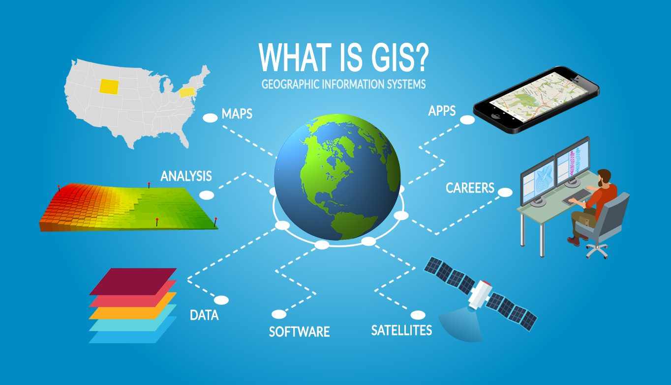
Table: Common Remote Sensing Data Sources and Their Applications in Disaster Management
| Data Source | Sensor Type | Spatial Resolution | Applications in Disaster Management |
|---|---|---|---|
| Landsat | Optical | 30 meters | Land cover mapping, vegetation monitoring, change detection, hazard mapping. |
| Sentinel-1 | Radar | 5-20 meters | Flood mapping, change detection, monitoring ground deformation. |
| Sentinel-2 | Optical | 10-20 meters | Vegetation monitoring, land cover classification, environmental monitoring, damage assessment. |
| MODIS | Optical/Thermal | 250m - 1km | Wildfire detection, vegetation index monitoring, large-scale environmental monitoring. |
| Commercial High-Resolution Satellites (e.g., WorldView, GeoEye) | Optical | 0.3-2 meters | Detailed damage assessment, infrastructure mapping, vulnerability assessment. |
Challenges and Future Directions
While remote sensing offers tremendous potential for disaster management, there are also challenges that need to be addressed. These include:
- Data Availability and Access: Access to remote sensing data, particularly high-resolution imagery, can be expensive and time-consuming. Efforts are underway to increase the availability of open-source data and to streamline data access procedures.
- Data Processing and Analysis: Processing and analyzing remote sensing data requires specialized expertise and software. There is a need for more training and capacity building in this area, particularly in developing countries.
- Data Integration: Integrating remote sensing data with other geospatial data can be challenging due to differences in data formats, spatial resolutions, and coordinate systems.
- Cloud Cover: Optical remote sensing is limited by cloud cover, which can obscure the Earth's surface. Radar sensors are less affected by cloud cover, but they provide different types of information.
- Algorithm Development: Specific algorithms need to be developed and refined to accurately extract useful information from remotely sensed data.
The future of remote sensing for disaster management is bright. Advancements in sensor technology, data processing algorithms, and computing power are continually improving the accuracy, timeliness, and accessibility of remote sensing data. The integration of artificial intelligence (AI) and machine learning (ML) techniques is also opening up new possibilities for automated disaster assessment and prediction. According to a report by MarketsandMarkets, the geospatial solutions market is expected to reach $113.2 billion by 2027, driven by the increasing demand for location-based information in various industries, including disaster management.
Integrating AI and Machine Learning
AI and machine learning are poised to revolutionize remote sensing for disaster management. These technologies can automate data processing, improve accuracy, and enable new types of analysis. For example, machine learning algorithms can be trained to automatically identify damaged buildings in satellite imagery or to predict the likelihood of landslides based on various environmental factors. This can greatly accelerate the disaster response process and improve the effectiveness of mitigation efforts.
The Role of International Collaboration
Disaster management is a global challenge that requires international collaboration. Remote sensing data and expertise can be shared across borders to improve preparedness and response capabilities. International organizations such as the United Nations and the World Bank play a vital role in facilitating this collaboration. Programs such as the International Charter "Space and Major Disasters" provide a framework for sharing satellite imagery during emergency situations.
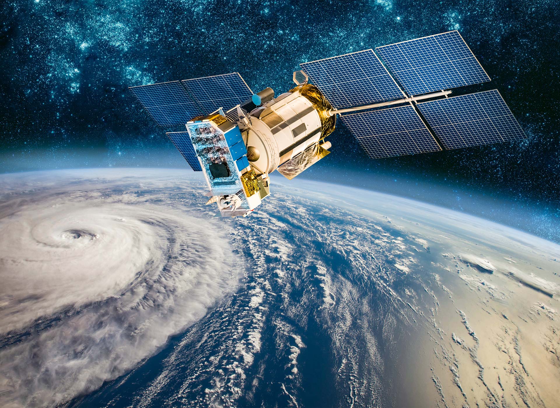
Table: Examples of Operational Remote Sensing Systems for Disaster Monitoring
| System Name | Operator | Sensor Type | Disaster Applications |
|---|---|---|---|
| Copernicus (Sentinel Series) | European Space Agency (ESA) | Optical, Radar, Altimeter | Wide range of applications, including flood monitoring, wildfire detection, land cover mapping, environmental monitoring. |
| Landsat Program | US Geological Survey (USGS) & NASA | Optical/Thermal | Long-term land cover change detection, hazard mapping, environmental monitoring. |
| Disasters Charter | International Collaboration | Various (dependent on member agencies) | Provides satellite imagery for disaster response to authorized users in the event of a major disaster. |
| Terra/Aqua (MODIS) | NASA | Optical/Thermal | Global monitoring of vegetation, fires, and atmospheric conditions. |
| GOES Series | NOAA | Optical/Infrared | Weather monitoring, hurricane tracking, flood prediction. |
FAQ
Here are some frequently asked questions about remote sensing for disaster management:
- What types of disasters can be monitored using remote sensing?
Remote sensing can be used to monitor a wide range of disasters, including floods, wildfires, earthquakes, hurricanes, volcanic eruptions, and landslides.
- What are the limitations of remote sensing for disaster management?
Limitations include data availability, processing costs, cloud cover (for optical sensors), and the need for specialized expertise.
- How can I access remote sensing data for disaster management?
Many open-source datasets are available from government agencies and international organizations. Commercial providers also offer high-resolution imagery for a fee.
- What skills are needed to work with remote sensing data for disaster management?
Skills in GIS, remote sensing software, data analysis, and a strong understanding of disaster management principles are essential.
In conclusion, remote sensing is a powerful tool for disaster management, offering valuable insights for preparedness, response, and recovery. By leveraging advancements in technology and fostering international collaboration, we can harness the full potential of remote sensing to build more resilient communities. What are your experiences with remote sensing in disaster management? Share your thoughts and questions in the comments below!
